What Lies Beneath: The Resounding Impact of Pingualuit Crater
- Mar 23, 2023
- History
- 5 minute read
In what ways, besides the obvious, does a crater leave an impact?
At more than a million years old, Pingualuit Crater has experienced the Earth change in significant ways, many times over. For some, the crater is a navigational aid, a scientific time-capsule, or even sacred ground. It contains answers to the mysteries of our past, and an informed outlook as to what the future might hold.
Join us as we explore this fascinating natural wonder—located in the barren tundra of northern Quebec’s Ungava Peninsula—and learn more about Pingualuit Crater’s history, as well as its significance today.
Created by a Collision
Pingualuit Crater was created approximately 1.4 million years ago when a meteorite struck the Earth, generating an explosive impact 8500 times the power of the Hiroshima atomic bomb. It hit the ground at a near vertical angle, resulting in a crater that is almost perfectly circular—a rarity amongst meteorite craters on Earth.
When the ice sheet receded after the most recent ice age, the crater filled with water—creating an astonishingly clear, 267-metre deep lake in Nunavik, northern Quebec. The lake was so circular and so blue that the Inuit who inhabit the area aptly nicknamed it “The Crystal Eye of Nunavik”.
Because it is only fed by precipitation such as rain and snow, Pingualuit Crater Lake is one of the clearest freshwater lakes in the world. A Secchi disk, a device used to measure water transparency, can be seen at a depth of 35 metres under the lake’s surface.
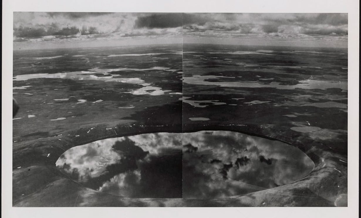
Photo: Pingualuit Crater - Aerial photo
Source: Library and Archives Canada/Carlyle Smith Beals fonds/e011180780
The Crystal Eye of Nunavik
For the Inuit communities and their ancestors, Pingualuit Crater holds deep significance. Nunavimmiut have long known about the crater’s existence—much longer than the rest of the world. Legends and stories about Pingualuit Crater have been passed on from generation to generation, and it is regarded as a sacred site of healing. The land surrounding the crater is also used for hunting—the 160-metre high impact rim provides a perfect panoramic view of the flat tundra below.
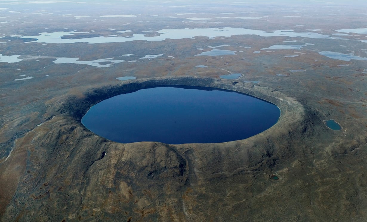
Pingualuit Crater
Photo credit: R. Fréchette, KRG
Climate Change Time Machine
Those outside of the Pingualuit region were introduced to Pingualuit Crater thanks to a U.S. Army Air Force crew who spotted it in 1943. Although news about the crater wasn’t released until after the Second World War, it quickly became a source of fascination for scientists as well as the general public—and a useful navigational aid for pilots. Touted as the “Eighth Wonder of the World,” many believed (and/or hoped) that the crater had volcanic origins—and, therefore, contained diamonds.
In 1951, geologists from the Royal Ontario Museum led the first scientific expedition to the crater. The trip was funded by the National Geographic Society, and the group’s findings were published in a 1952 issue of the journal. Although no evidence of volcanic activity was found, that first expedition continued to inspire intrigue amongst the scientific community.
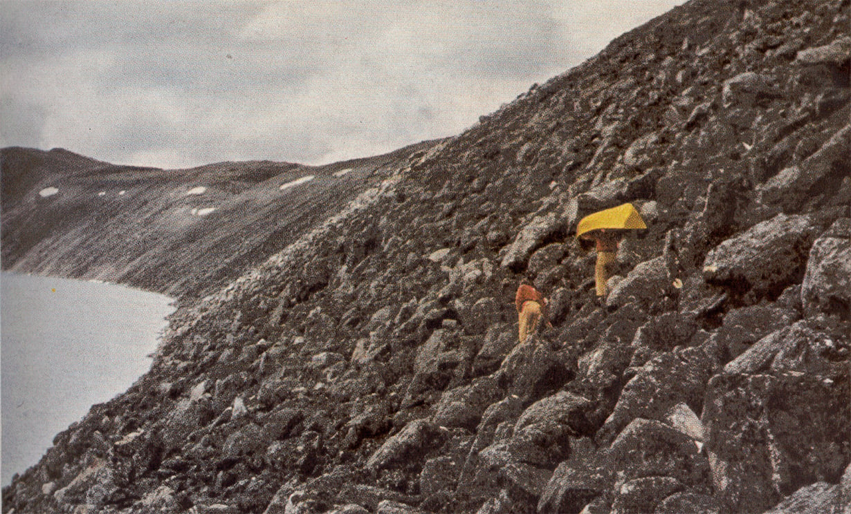
1951 expedition to Pingualuit Crater.
Photo credit: National Geographic Society
More expeditions followed, including a 1988 expedition by Université de Montréal and, more recently, two subsequent Université Laval expeditions: one in the winter of 2007 and the other in the summer of 2010. These two expeditions were led by Dr. Reinhard Pienitz—professor of geography and member of the Centre d’études nordiques at Université Laval—and focused on obtaining sediment samples from the bottom of Pingualuit Crater Lake.
Due to the crater’s deep shape, sediment deposits at the bottom of the lake escaped glacial erosion and are remarkably well-preserved. These sediments have yielded information about climate change, and they provide a long-term record of environmental history dating back to (at least) the last two glacial periods.
The lake is also home to a unique population of Arctic Char. These fish, which have been living in complete isolation for over 6500 years, have managed to survive—providing many insights on genetic evolution and freshwater ecosystems.
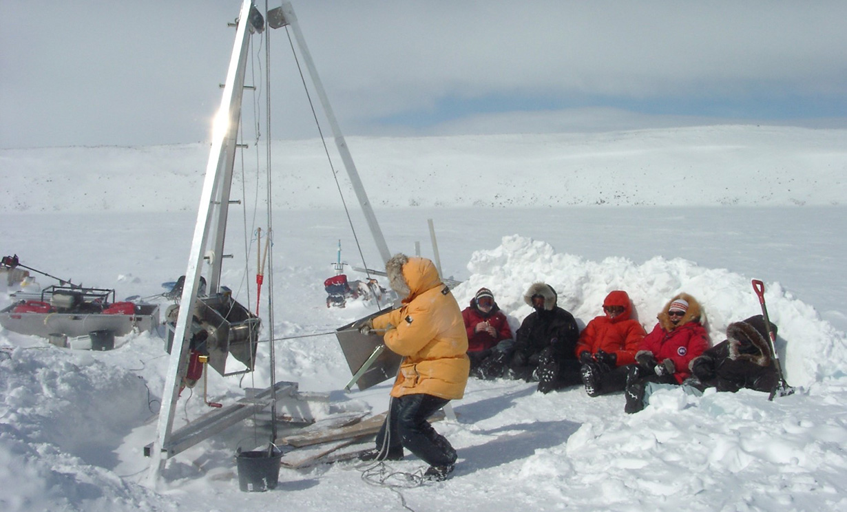
2007 winter expedition to Pingualuit Crater
Photo credit: Dr. Reinhard Pienitz
Today, Pingualuit Crater is considered a “climate change time machine” due to its undisturbed archive of past climate change information.
“These [past climate changes] give us important clues to the present-day impact of human pollution on the atmosphere and the environment, and we use this detailed information about past climates to be able to better predict future climates,” says Dr. Pienitz.
“Canadian scientists should be aware of the fragility of these freshwater ecosystems because climate change is accelerated and amplified in Arctic regions, and understanding the fragility of Arctic climates can tell us a lot about climate change elsewhere on this planet.”
Watch our interview with Dr. Reinhard Pienitz below to learn more about the treasure trove of information contained within Pingualuit Crater:

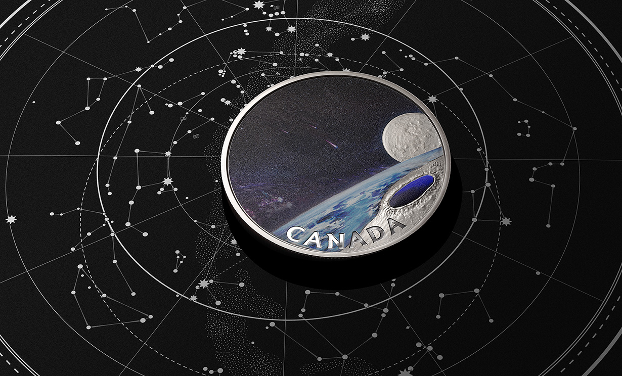
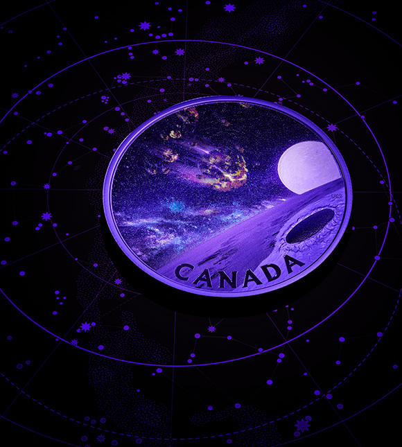
Discover a unique view of this natural wonder for yourself: our new Pingualuit Crater silver coin features a special black light effect—allowing you to witness the meteorite that created this magnificent crater, as well as its resulting lake that holds the secrets of the earth’s past climate and environmental changes.
